
Drone guide
Drone Flight Guide: Get Your Forest Data
This guide will walk you through everything you need to know to perform a successful drone flight for forest analysis. Just follow these steps, from planning to uploading your data.
Which Scan Is Right for You?
We offer two main types of scans. Choose the one that matches your goal:
- Rapid Scan: This is a faster scan with less detail.
- Best for: Forest damage analysis, density analysis, and tree species maps.
- Overlap: 40% (side) / 40% (front)
- Required resolution: 3-5 cm in GSD
- True Scan: This is a high-detail scan for deep data analysis.
- Best for: Tree heights, volumes, DBH (Diameter at Breast Height), thinning analysis, clearing analysis, and harvest analysis.
- Overlap: 80% (side) / 90% (front)
-
Required resolution: 1-3 cm in GSD
Camera settings:
- Shutter speed: at least 1/500 s
- ISO: 100–200
- Aperture: auto (typically f/3.5–5)
- Focus: autofocus
- White balance: 5500K
Part 1: Get Ready to Fly
Check Your Drone
Make sure you have a supported drone. Check our Supported Drone List to see the full list.
Get Your Permits
Always check local rules and get any flight permits you need. You can use a flight planning app like DJI, DroneDeploy, or another system of your choice.
Part 2: Plan Your Mission
This is where you set up the flight path and camera.
Recommended Settings
No matter which scan you choose, use these core settings:
- Flight Height: 100 meters as standard
Fly lower if your drone cannot meet the resolution targets on 120m height
- Camera Angle: 90° (looking straight down)
- Camera Mode: Capture images at an equal distance interval.
Important Flight Tips
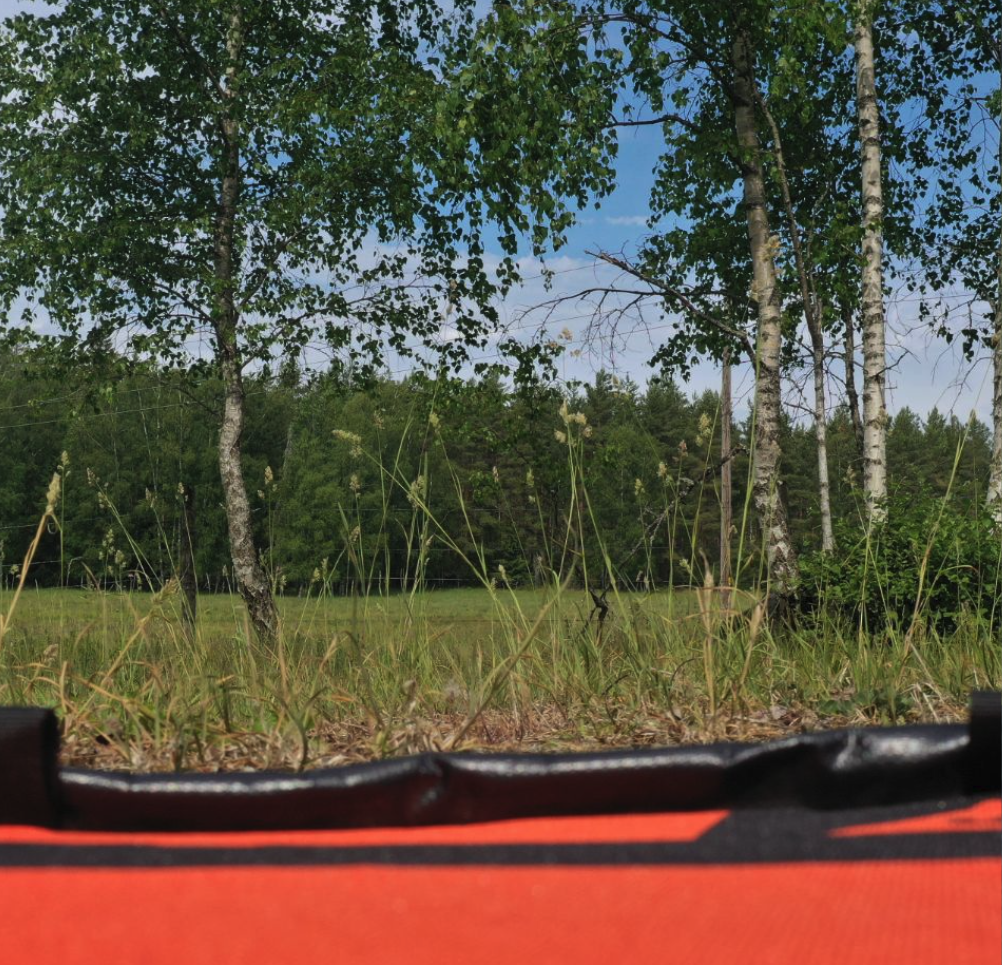
- Take a "Starting Photo": Before you launch, take a photo from the ground. This is a must-do for every new mission, new battery, or when you change your location. It helps improve the final data quality.
-
Start High: Begin your flight from the highest point in the area.
Control Elevation:
- Max height increase: 20m
- Max height decrease: 40m
Note: The farther you are from the treetops, the higher the risk of losing some analysis quality.
Terrain follow: Use the setting Terrain Follow if there is alot of elevation.
Camera Settings
- For Beginners: Set your camera to Auto and your White Balance to 5600K.
- For Advanced Users: You can get better results with manual settings. See our Advanced Camera Guide for more information.
Part 3: Flight Day Checklist
You're ready to fly! Follow these steps on the day of your mission.
- Insert the Memory Card. Don't forget this!
- Set Up the Drone. Start it and let it find enough satellites.
Sometimes you need to wait 3-5 min.
- Open Your Drone App.
- Take Your Starting Photo. Use the camera button on your remote.
- Start the Mission. In the app, start your pre-planned flight.
- Enjoy the Flight. Stay in control and monitor your drone.
Part 4: Data Analysis
Once your flight is done, all your images will be on the memory card.
- Transfer Images: Copy all the images to your computer.
- Upload to ArboPortal: Log in to ArboPortal and upload your images for analysis.
You're all set! Now you can get your forest analyzed. If you have any questions, feel free to contact our support team.