Quick start - Your first rapid ortho in 2 min
Introduction: A successful start, guaranteed! Follow these 3 simple steps to create a perfect, high-precision orthophoto.
Step 1: The Flight – 3 Critical Drone Settings For our AI to do its job, the right data is required. Configure your drone as follows:
- Camera angle: 90 degrees (straight down) and camera settings auto
- Image overlap: At least 40% sidelap / 40% frontlap (40/60 also works really good and is better for more hilly terrain)
- Flight pattern: Grid
You find our full guide here: https://knowledge.arboair.com/article/31-drone-guide
Step 2: Create a Forest & Upload Your Images Back from the field? Perfect. The process in the app is simple:
- Click on "Create a new forest" and give it a name.
- Go into your new forest and click "Create analysis". Select all the images from your flight. Done! Our platform will now start processing your orthophoto automatically.
You will find the full education here in swedish: https://knowledge.arboair.com/category/142-utbildningsvideos-svenska
here in english: https://knowledge.arboair.com/category/26-getting-started
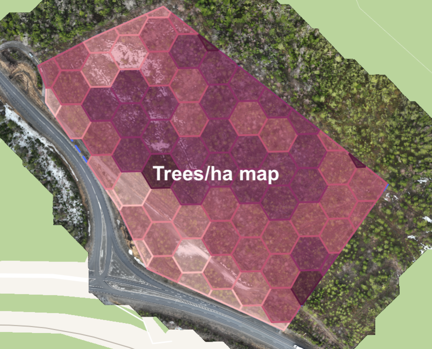
Step 3: Your Result & Next Steps You now have a fast, high-quality orthophoto! Explore it, measure within it, and see the potential. The next step? Unlock the full power with our premium analyses that can automatically identify tree species, damages, and much more.
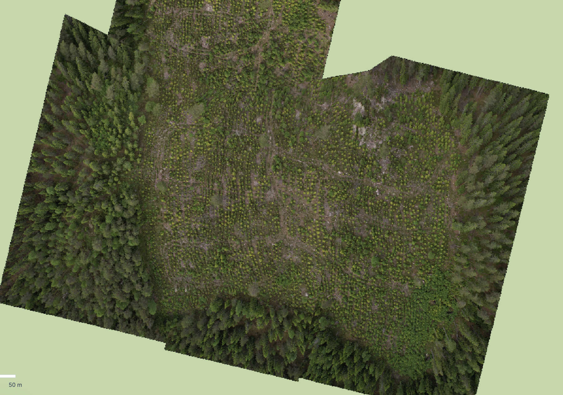
Rapid ortho for manual inspection below:
Example analysis - What you can get with an AI based analysis aswell (psst: there are many more analysis types and insights to be gained by an analysis).